
Mars Sea Level Simulator
Give Mars a hypothetical ocean, then advance the years. Explore clouds, flowing water, and optional vegetation in a simple climate experiment.
Loading the Mars terrain map…
New field study
Waterlines on other worlds
Explore how a hypothetical liquid level crosses the terrain of Venus, Mercury, the Moon, Ceres, and Titan.
 Open the planetary waterline simulator
One more perspective
Keep exploring the scale
Every toy changes one assumption. Try another and see what moves.
Urban water
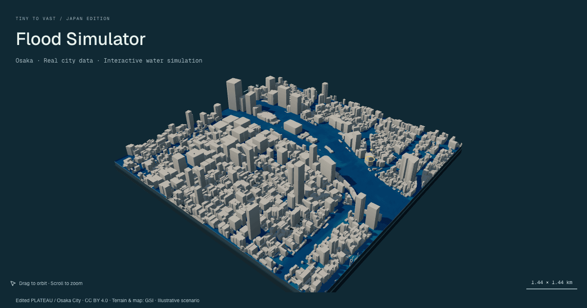
3D Flood Simulator
Send water through real Japanese neighbourhoods. Change its height and direction, and watch buildings and terrain guide the flow.

Historical atlas
Interactive World History Map
Explore changing country and empire borders on a dated map, search historical territories, and compare periods with a timeline.
A Martian waterline experiment
Where would water sit on Mars?
The northern plains, Hellas basin, and high southern terrain make Mars a useful place to test a simple height rule. Pick a water level, then rotate the globe to see which parts of the surface lie below it. This page shows a hypothetical threshold, not evidence that an ocean existed at that exact level.
Try three heights
- Start at 0 m and compare the northern lowlands with the southern highlands.
- Move to −2,000 m to leave more of the northern terrain exposed.
- Move to +3,000 m and watch the threshold reach higher ground.
What the blue area means
Each blue pixel has a terrain height below your selected waterline. Heights are measured relative to the Martian areoid, a gravity-based reference surface. The map does not calculate whether water could flow there or remain liquid.
Data and limits
The hosted overview stops at zoom level 3, about 10.4 km per pixel at the equator. Zooming farther enlarges those pixels; individual craters, channels, and fine shorelines cannot be resolved. The colored basemap is an illustrative surface image.
Try a hypothetical climate
Set the waterline, then choose a year or play the timeline. Clouds develop over water and nearby land, while runoff follows downhill paths in a coarse elevation grid. Turn on vegetation to see plant cover develop in damp, lower terrain. Turn it off to compare the same water cycle on barren land. Changing the water height returns the experiment to year zero.
This experiment assumes an atmosphere warm and dense enough to support liquid water. The years describe an illustrative pace, not a forecast. Wind direction is fixed, closed basins retain runoff, and the model does not calculate erosion, atmospheric chemistry, or feedback from plants. Green cover is an estimate within these visual rules.
Cloud shapes are adapted from NASA’s Blue Marble imagery, by Reto Stöckli / NASA Goddard Space Flight Center. These Earth cloud patterns illustrate the experiment’s moisture field; they are not observations or predictions of Martian weather.
Compare another world
Mars waterline questions
Does Mars have a sea level?
Mars has no present-day ocean. This tool uses elevation relative to the Martian areoid as a reference height, then colors terrain below the number you choose.
Is this a map of a real ancient Martian ocean?
No. It is a hypothetical elevation threshold. It does not reconstruct ancient climate, water supply, shorelines, or the geologic history of Mars.
Why do the northern plains turn blue first?
Much of Mars's northern hemisphere is lower than the southern highlands. A low threshold therefore covers broad northern areas before it reaches higher southern terrain.
How detailed is the Mars map?
The hosted overview stops at zoom level 3, about 10.4 kilometres per pixel at the equator. Zooming in enlarges those pixels rather than revealing small craters or narrow channels.
A terrain-height illustration, not a reconstruction of ancient Martian oceans or a prediction of liquid water.